Guimaraes uses digital tools to drive nature-based solutions
As heat, drought and extreme rainfall put growing pressure on Europe’s cities, the city of Guimaraes is using digital tools to decide where climate action is needed most, and to measure what works.
The Portuguese city, European Green Capital 2026, has placed nature-based solutions at the heart of its climate strategy. But it is going further than expanding parks, green corridors and retention basins. It is using satellite imagery, geospatial analysis and machine learning to understand where these solutions are working, where climate risks are highest and where future investment should be focused.
The aim is simple: to turn climate data into better local decisions.
Through a collaboration with researchers from the University of Minho, Guimaraes has developed a digital monitoring approach to measure the impact of nature-based solutions on urban heat and land cover. The work shows how cities can use existing data and open-source tools to support climate resilience, guide planning and make the benefits of green infrastructure more visible.
A digital approach to climate adaptation
Guimaraes has spent the past decade embedding climate mitigation and adaptation into local policy. Its Sustainable Energy and Climate Action Plan 2030 identifies heatwaves, high temperatures, drought, excessive rainfall and flooding as priority climate threats.
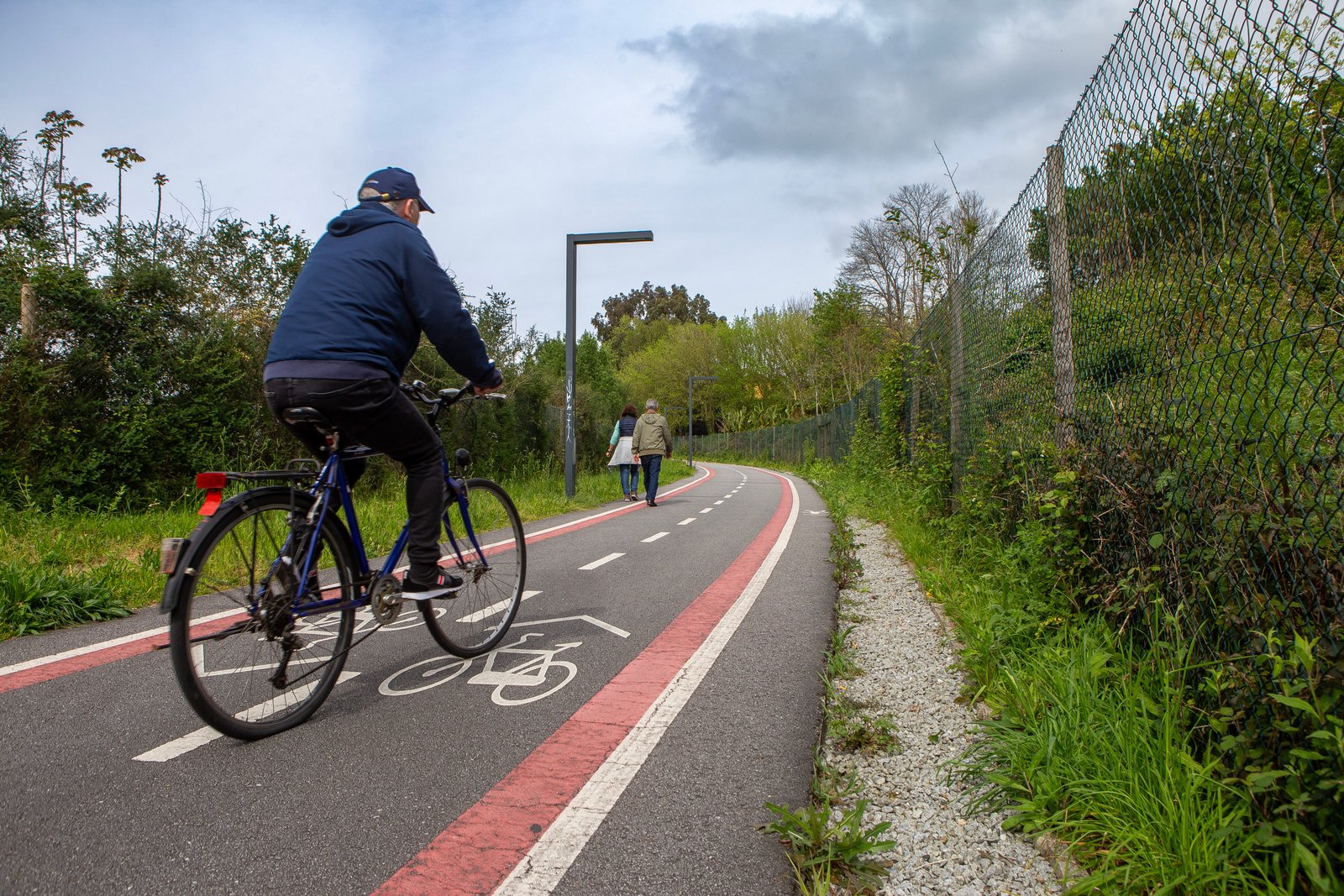
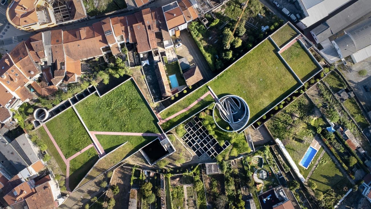
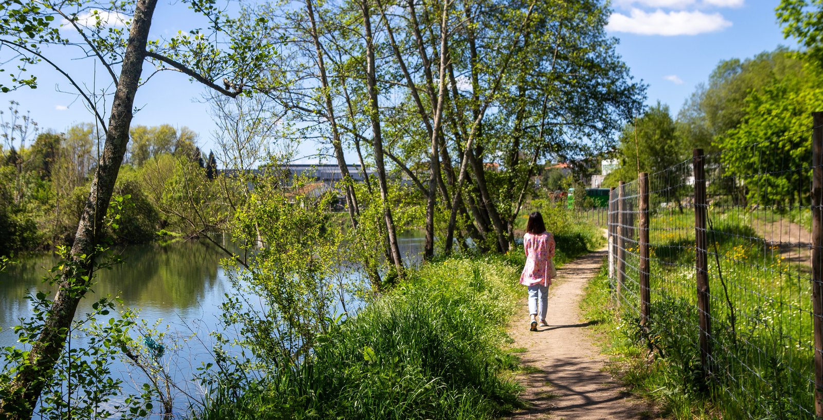
Nature-based solutions are central to the city’s response, including reforestation, urban community gardens, green corridors, green roofs, retention basins, permeable surfaces and biodiversity-focused landscape interventions.
But the city also recognised that effective climate adaptation needs more than action on the ground. It needs data. For local governments, one of the biggest challenges is knowing whether nature-based solutions are delivering measurable results. Are they reducing surface temperatures? Which areas benefit most? Where should the next interventions be placed? Guimaraes is using digital tools to answer these questions.
Using satellite data to read the city
The study carried out in Guimaraes used multispectral satellite imagery from Landsat-8 to analyse changes across the city between 2013 and 2023. This allowed researchers to calculate key environmental indicators, including land surface temperature, vegetation density and the extent of built-up areas. These indicators show how different parts of the city respond to heat, and how vegetation and urban development affect temperature patterns.
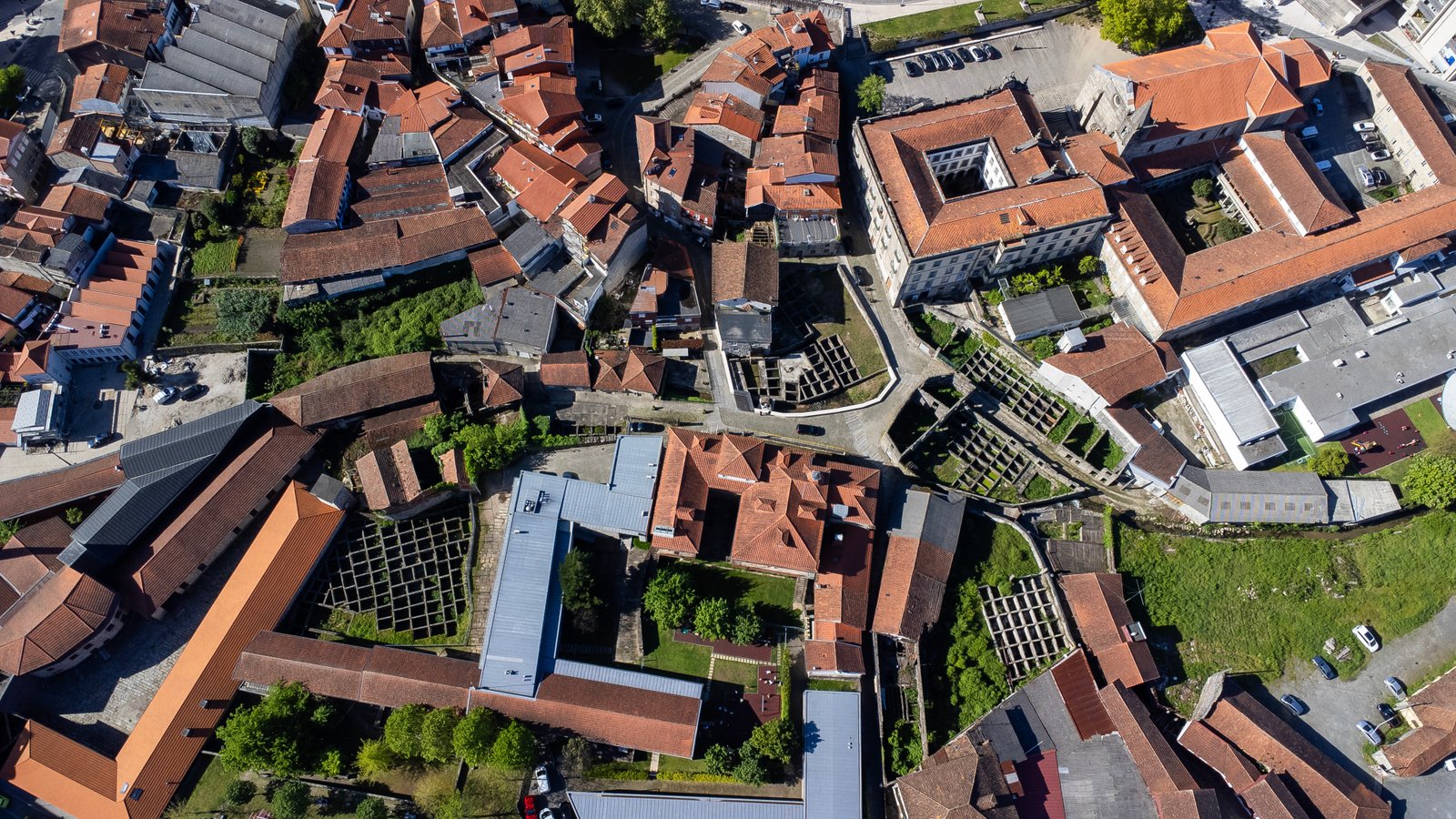
In practice, this gives the municipality a digital picture of climate risk across its territory. It can see where surfaces are heating up, where vegetation is helping to cool the city and where dense urban areas may be increasing heat exposure.
The research also compared satellite-derived temperature patterns with data from local weather stations operated by the municipality and the Portuguese Institute for Sea and Atmosphere. Additional spatial data, including elevation, roads and river proximity, helped explain what drives temperature differences across the city.
By combining these sources, Guimaraes can move from general climate assessments to more detailed, place-based evidence.
Machine learning to map change and predict risk
Machine learning was used to turn this data into practical insights for urban planning.
First, researchers applied a Random Forest algorithm to classify land cover across the city into four categories: vegetation, built-up areas, barren land and water. This helped show how Guimarães has changed over time and how shifts in vegetation affect urban temperatures.
Second, the study used predictive machine learning models to estimate future land surface temperature scenarios. Three models were tested, XGBoost, Bagging and AdaBoost, with XGBoost providing the highest predictive accuracy. It was then used to forecast temperature patterns for 2028.
This makes the digital approach especially valuable. Instead of only looking back at past climate impacts, Guimaraes can anticipate future heat hotspots and identify where green infrastructure, water retention and other cooling measures could have the greatest effect.
Turning evidence into action
The digital analysis confirmed that nature-based solutions in Guimarães are already producing measurable results. By comparing land cover and temperature patterns over time, the study found that interventions such as urban community gardens, green roofs and retention basins can reduce local surface temperatures by up to approximately 2.49°C.
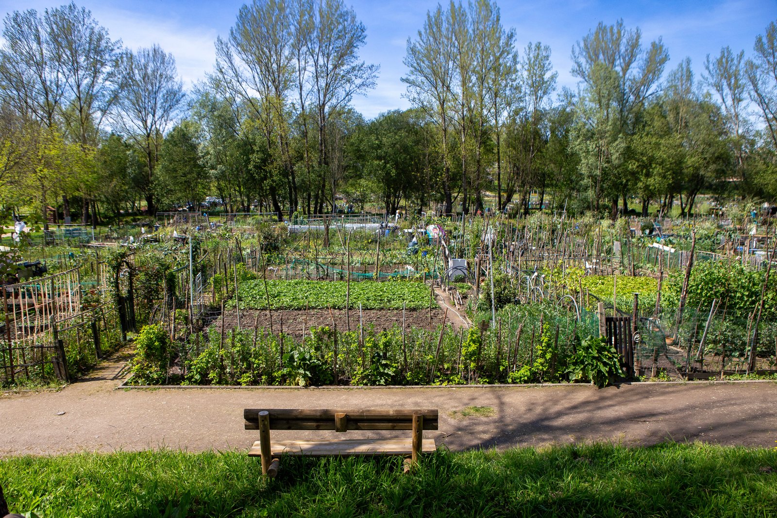
The strongest cooling effect was observed in urban community gardens, showing that these spaces are not only social and environmental assets, but also practical climate adaptation tools.
The analysis also confirmed that areas with higher vegetation density tend to have significantly lower surface temperatures than densely built-up areas.
For Guimaraes, this evidence helps strengthen the case for investing in green and blue infrastructure. It also helps the city make better decisions about where those investments should go. Rather than treating nature-based solutions as isolated projects, the city can assess their performance over time, compare their impact and integrate the results into long-term planning.
Digital tools for better public policy
The Guimaraes approach shows how digital transformation can support evidence-based local government.
The tools used in the study, including satellite imagery, open-source geospatial software, cloud-based computing and machine learning, help the city monitor, evaluate and plan climate adaptation more systematically.
The analysis was carried out using QGIS and Google Colab, showing that advanced climate monitoring does not always require expensive or inaccessible technology. With the right partnerships, cities can use widely available tools to generate valuable evidence for policy.
This matters because many cities know they need to invest in climate resilience, but also need to show that interventions work. Digital monitoring gives local governments a way to demonstrate impact, communicate results and prioritise limited resources. It also helps connect different parts of city governance. Climate teams, urban planners, environmental departments, researchers and decision-makers can work from a shared evidence base, making adaptation less fragmented and more strategic.
A city-wide ecosystem for innovation
Guimaraes’ use of digital tools is part of a wider governance model. Through the Guimaraes 2030 governance ecosystem, the municipality works with academia, the private sector and civil society to support urban innovation and evidence-based policy.
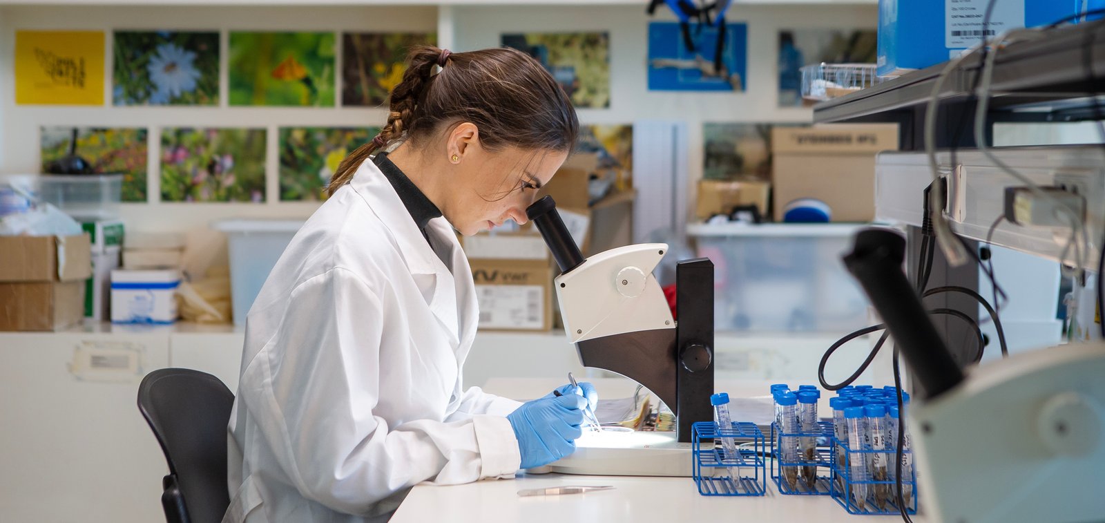
The collaboration with the University of Minho reflects this approach, positioning scientific institutions as active partners in the city’s climate transition.
The city’s local work is also aligned with European climate goals. Guimaraes is part of the EU Mission for Climate-Neutral and Smart Cities and the EU Mission on Adaptation to Climate Change. At the same time, the city contributes to wider European exchange through Eurocities, including as chair of the Working Group on Green Areas and Biodiversity and co-chair of the Climate Resilience Task Force. This combination of local data, academic expertise and European cooperation gives Guimaraes a stronger platform for scaling climate innovation.
A model other cities can adapt
Guimaraes offers a practical example of how cities can use digital tools to make climate adaptation more targeted and effective.
The approach is relevant for cities of different sizes because it builds on tools and data sources that are increasingly accessible. Satellite imagery, environmental indicators and open-source geospatial platforms can help local governments understand climate risks without starting from zero.
For smaller and medium-sized cities, this is especially important. Digital transformation is often associated with complex smart city systems, but Guimaraes shows that it can also support very practical climate decisions: identifying heat hotspots, measuring cooling effects, planning green infrastructure and preparing for future risks.
The city’s experience also shows that digital tools are most powerful when they are linked to clear public goals. In Guimarães, the goal is not digitalisation for its own sake. The goal is to use data to support a greener, cooler and more resilient city.
By combining nature-based solutions with satellite data, machine learning and local governance, Guimaraes is showing how digital innovation can help cities act earlier, plan better and make climate adaptation more effective.