

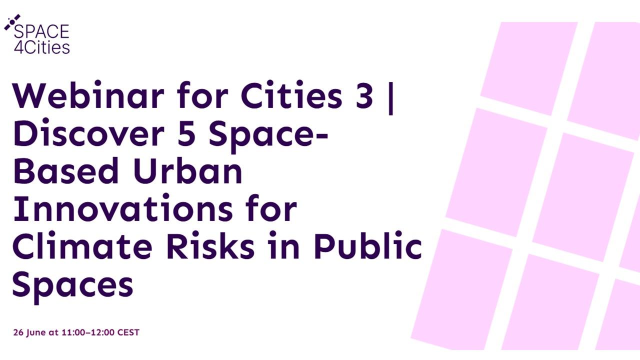
SPACE4Cities Webinar Series | Session 3: Climate Risks in Public Spaces
Cities are increasingly exposed to the impacts of climate change, with public spaces—such as parks, plazas, schools or transport hubs—bearing the brunt of extreme events as well as long-term trends in temperature, precipitation or sea-level rise. Flooding, heatwaves, and storm damage not only disrupt daily life but also pose serious threats to public safety, infrastructure, and the livability of urban environments. These risks are often unevenly distributed, disproportionately affecting vulnerable populations or low-income neighbourhoods.
Managing this growing complexity requires timely, spatially-detailed insights that go beyond what traditional risk assessments can offer. Satellite data enables cities to map flood-prone areas, monitor urban heat islands, assess vegetation coverage, and track changes over time. Space based solutions also allow for policy simulation and local climate forecasting.This empowers planners and decision-makers to design targeted adaptation strategies, prioritise interventions, and build more equitable, climate-resilient urban spaces.
This session will showcase five of the twenty innovative solution concepts developed by leading European experts and organisations, currently being advanced with support from the SPACE4Cities project. Each solution is designed to address, in their own unique way, the above-presented urban challenges using satellite data and geospatial insights. Participants will have the opportunity to engage directly with the innovators, ask questions, and offer feedback—helping to shape the relevance and impact of these tools for cities and communities across Europe.
Agenda
11:00-11:05 | Session introduction (Alex Gluhak, OASC)
11:05-11:55 | Solution presentations x 5 (10 mins each)
- Climate-Integrated Resilience for Urban Systems (Edurne Estévez, GeoVille)
- Next-Generation Urban Planning: From Reactive to Predictive Climate Management (Gaetano Volpe, Latitudo 40)
- Building Resilient Landscapes – Healthy Urban Habitat Index (Pavithra Raghunathan, CGI, NL)
- Predicting Wildfire Risk in Wildland Urban Interfaces (Miguel Iglesias, Vexiza)
- FLOOD risk management for Governance, Urban Adaptation and Resilience Development (Carla Rodríguez, Cartif)
11:55-12:25 | Panel discussion Moderated by Alex Gluhak, involving all speakers
12:25-12:30 | Session wrap-up (Alex Gluhak, OASC)